|
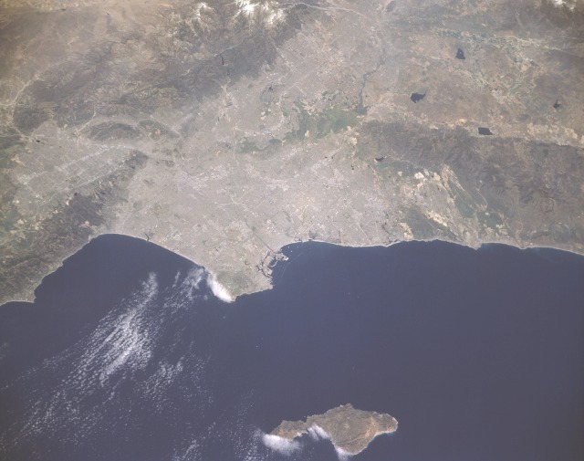
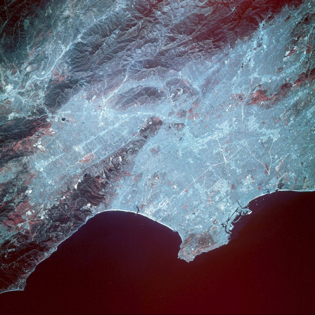
AERIAL VIEWS 7.1.98 I came across this neat little web page which contains a database of images taken from various space shuttle missions. It's called Earth From Space: An Astronaut's View of the Home Planet. I was trying to find some star maps to put on the front page of my site but I came across this instead. I loved the synopsis of Los Angeles -- reminds me of documentaries of the 50s that they'd show on film reels in elementary school. You could always tell who was teacher's pet because they got to run the projector. I don't usually do this with images -- resize them with html -- but I didn't want to lose any clarity. They are both large files so I extend my apologies to those on a slow connection. To see a larger image you can right-click (PC) with your mouse or option-click (Mac) and choose view image. Los Angeles Basin,   Not many individual highways are clearly visible in this photograph; however, the alignment of some major thoroughfares can be observed by looking at the clustered light areas. These clustered, highly reflective areas show concentrations of industrial and commercial activities within the urban area.   Several major interstate highways can be identified, and many of the large industrial and commercial areas can be identified by their highly reflective signatures. These clustered areas are usually found alongside major ground transportation routes. Downtown Los Angeles (near the center of photograph) can be seen west of Interstate Highway 5, which traverses southeast-northwest. If that sort of stuff intrigues you then you should check out Microsoft's demo site of their new Terra Server. It demonstrates the ability of this server to hold massive amounts of complicated information, in this case geological land studies and spy satellite pictures from the United States and Russia, and deliver them to the user. It is not a complete global representation (go ahead and try to find Area 51!) but it's pretty cool. Bill Gates really frightens me at times. Thank God it's not real-time. æ |
|
[ less ][ more ] [ 1998 archive ] [ directory ] |